
Part 1 above
Remember Ptolemy – 2nd Century?
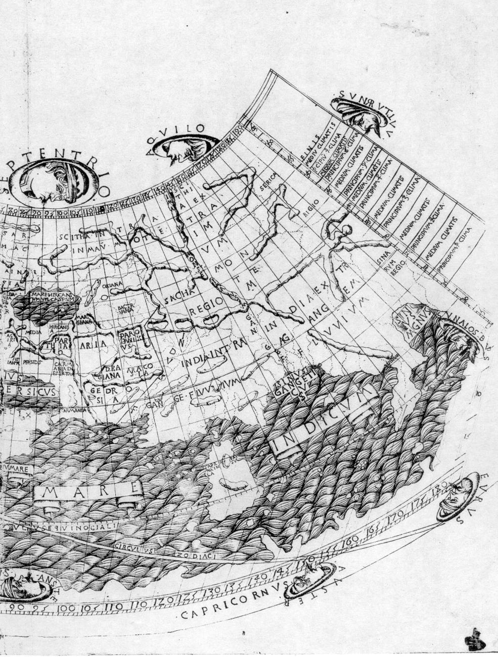
From NC:
According to our results, see the books “Empire” and “Biblical Russia”, maps attributed to Ptolemy were most likely created already in the XVII-XVIII centuries, moreover, “under antiquity”. They depicted the “ancient geography”, that is, the geography of the XIV-XVI centuries. The name INDIA is assigned by the creators of the map only to the relatively small modern peninsula of Hindustan, as well as to the Far East and Kolyma. (N.B. Watch the video I posted a while back about gulags in Kolyma) All clear. In the era of the Reformation, the former meaning of the word “India”, which meant the whole great Russia-Horde, was significantly “narrowed” and preserved only by modern India. That is, for a small part of the former INDIA, that is, Russia-Horde of the XIV-XVI centuries.
Part 2 below